Kentucky Drone Company – Professional Drone Photography in Louisville & Lexington
Stunning Aerial Photography & Video Across Kentucky
Drone Photography Louisville Businesses Trust
From downtown Louisville to surrounding communities, our drone services help clients tell their story from a unique perspective. Whether you’re a real estate agent highlighting listings, a contractor documenting construction progress, or a business promoting facilities and events, we deliver clear, cinematic visuals that grab attention and build credibility.
Aerial Video & Mapping Services
Our team provides more than just stunning photos. We also offer:
- Aerial video production for marketing and promotions
- Construction progress photography with monthly updates
- 2D/3D mapping and aerial surveys for accurate site data
- Roof, tower, and infrastructure inspections for safer, faster results
Why Choose Kentucky Drone Company?
- Local expertise – Based in Louisville, serving all of Kentucky
- FAA Part 107 Certified drone pilots
- Fast turnaround with professional editing included
- Affordable packages for real estate, commercial, and industrial projects
Book Your Drone Photography in Louisville Today
Discover the difference professional aerial photography can make. Contact Kentucky Drone Company to schedule your drone photography in Louisville or anywhere in Kentucky.
CONSTRUCTION JOB SITE PROGRESS
Commercial construction demands frequent aerial images and video to document progress monitoring for investors and insurance companies. These economical and detailed images help significantly reduce budget and project risk.
We provide timely, high-quality aerial photography and videography for construction companies, contractors and developers throughout Kentucky and Indiana.
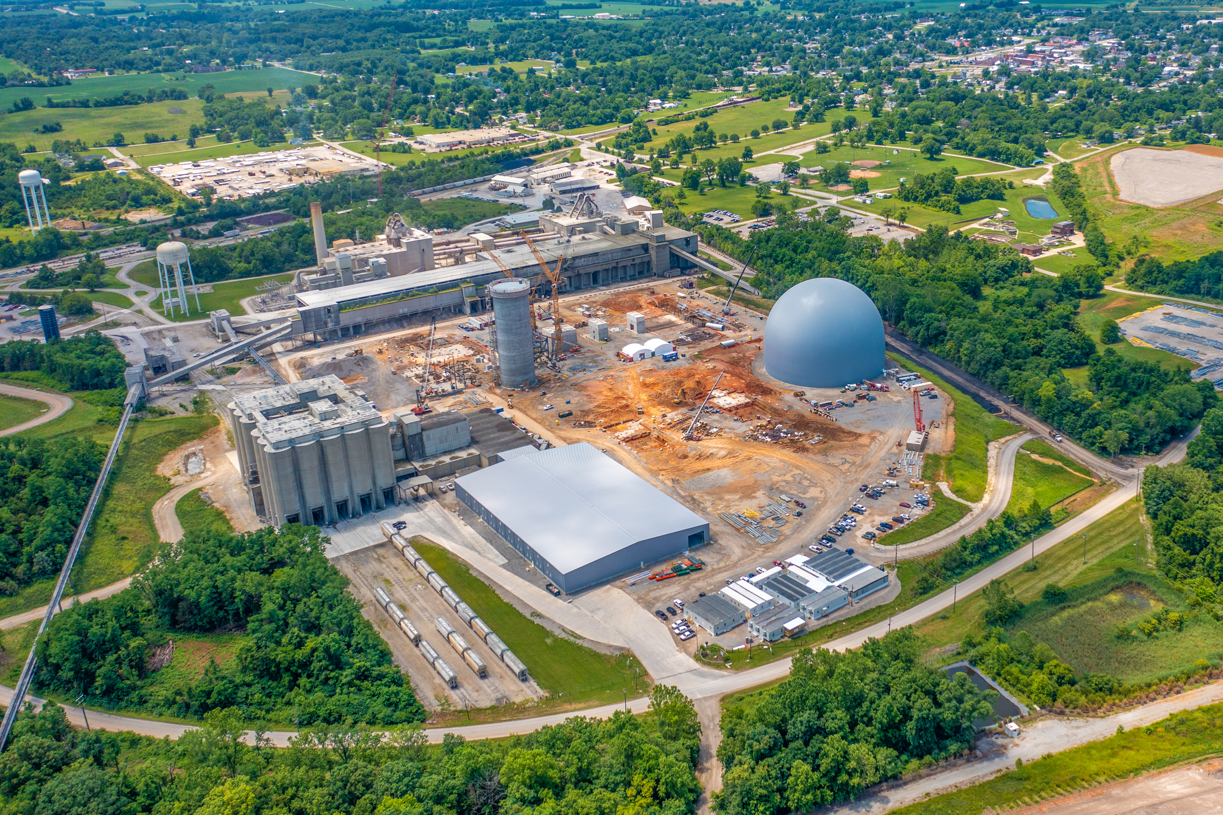
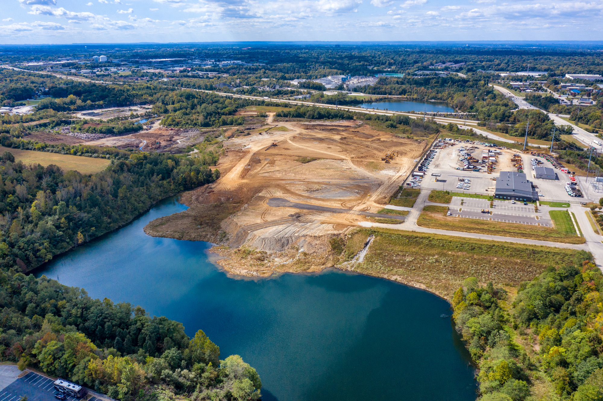
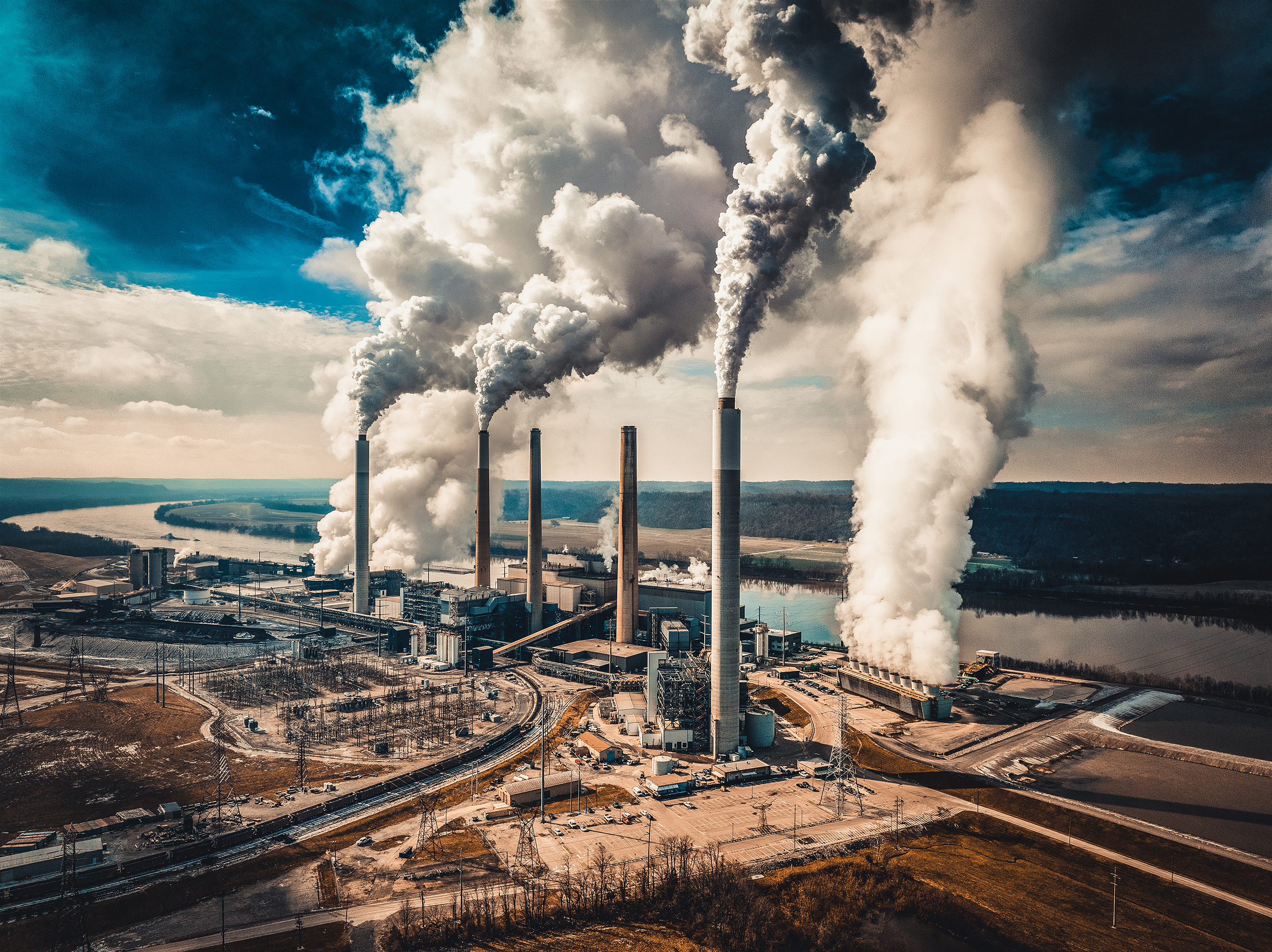
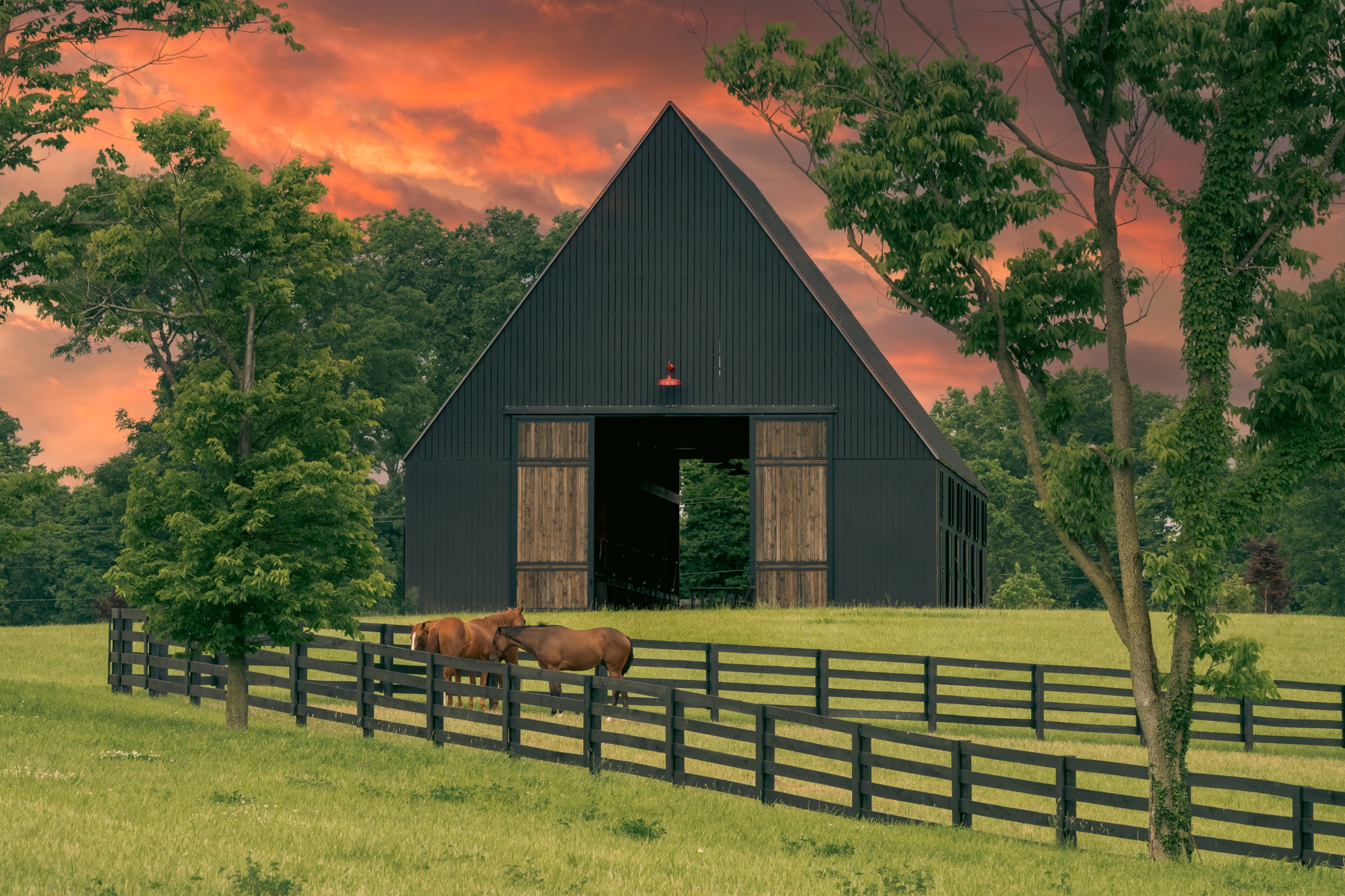
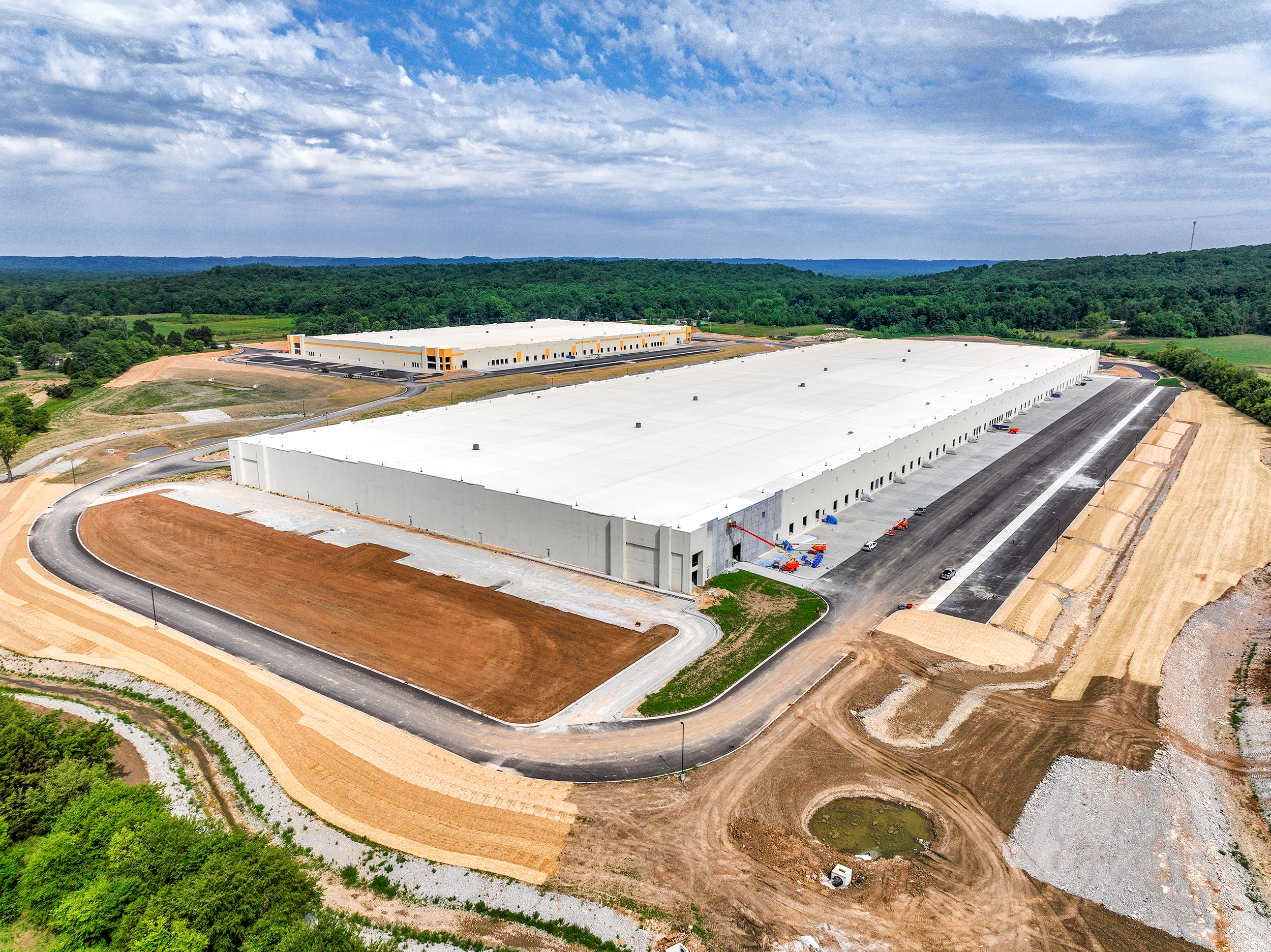
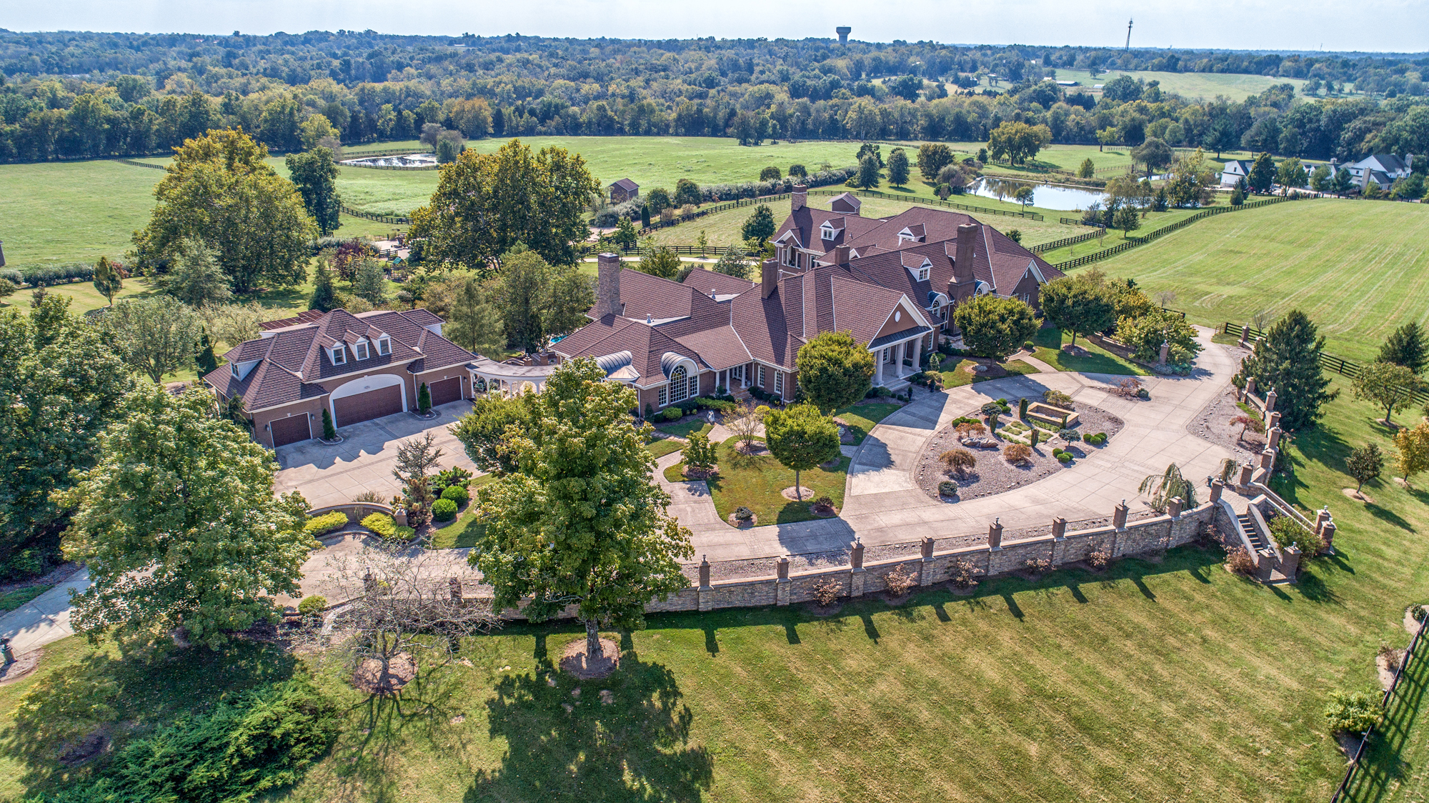
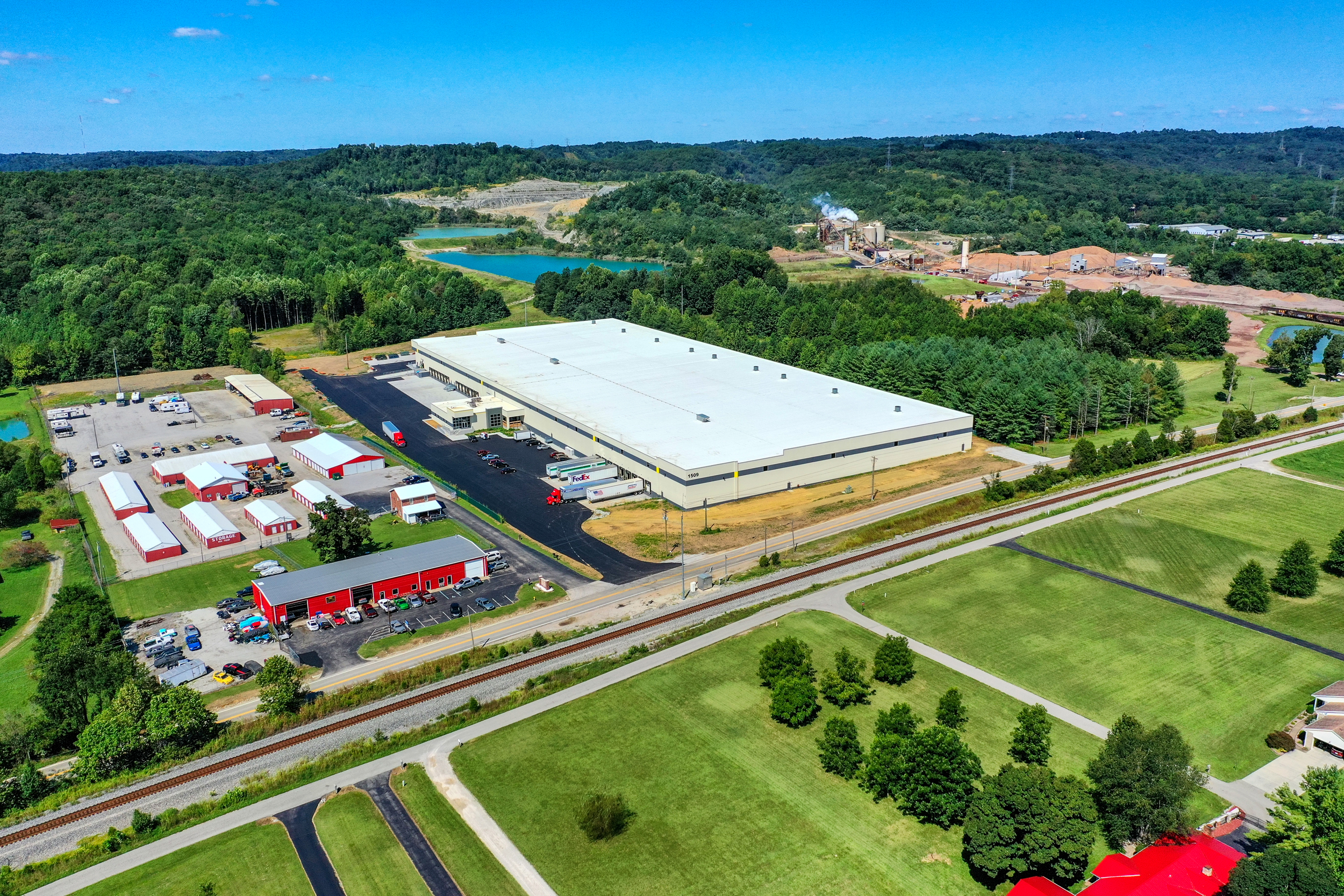
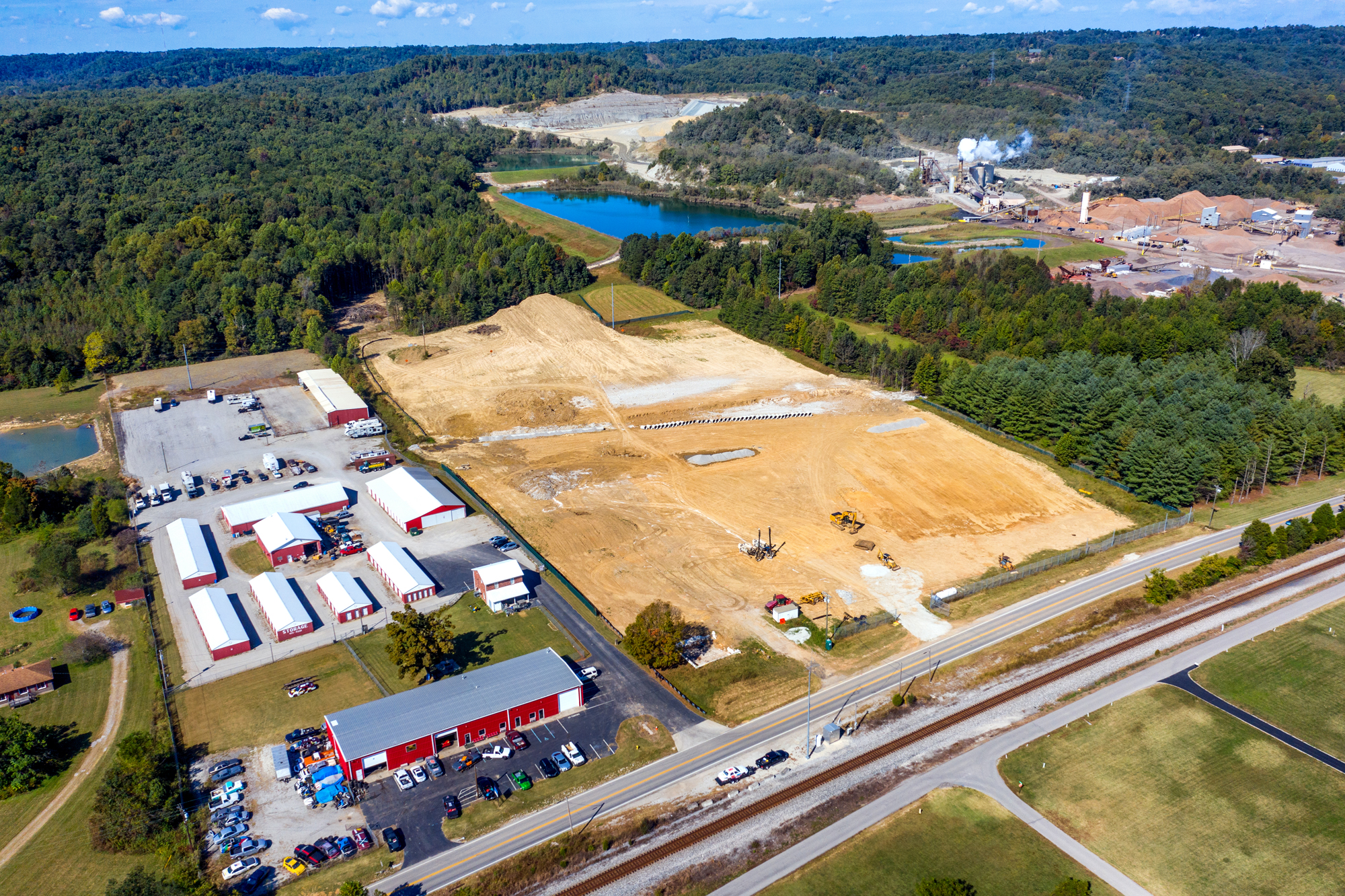
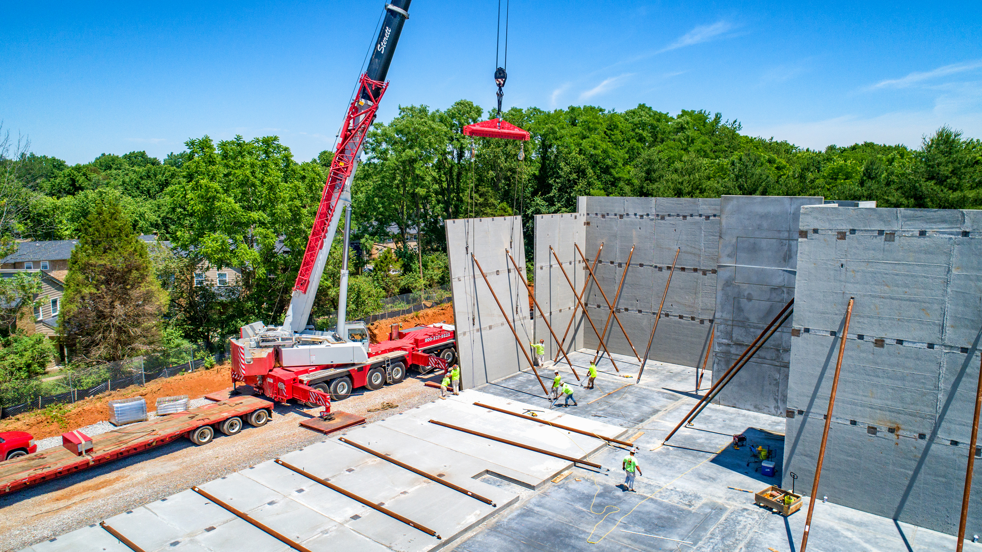
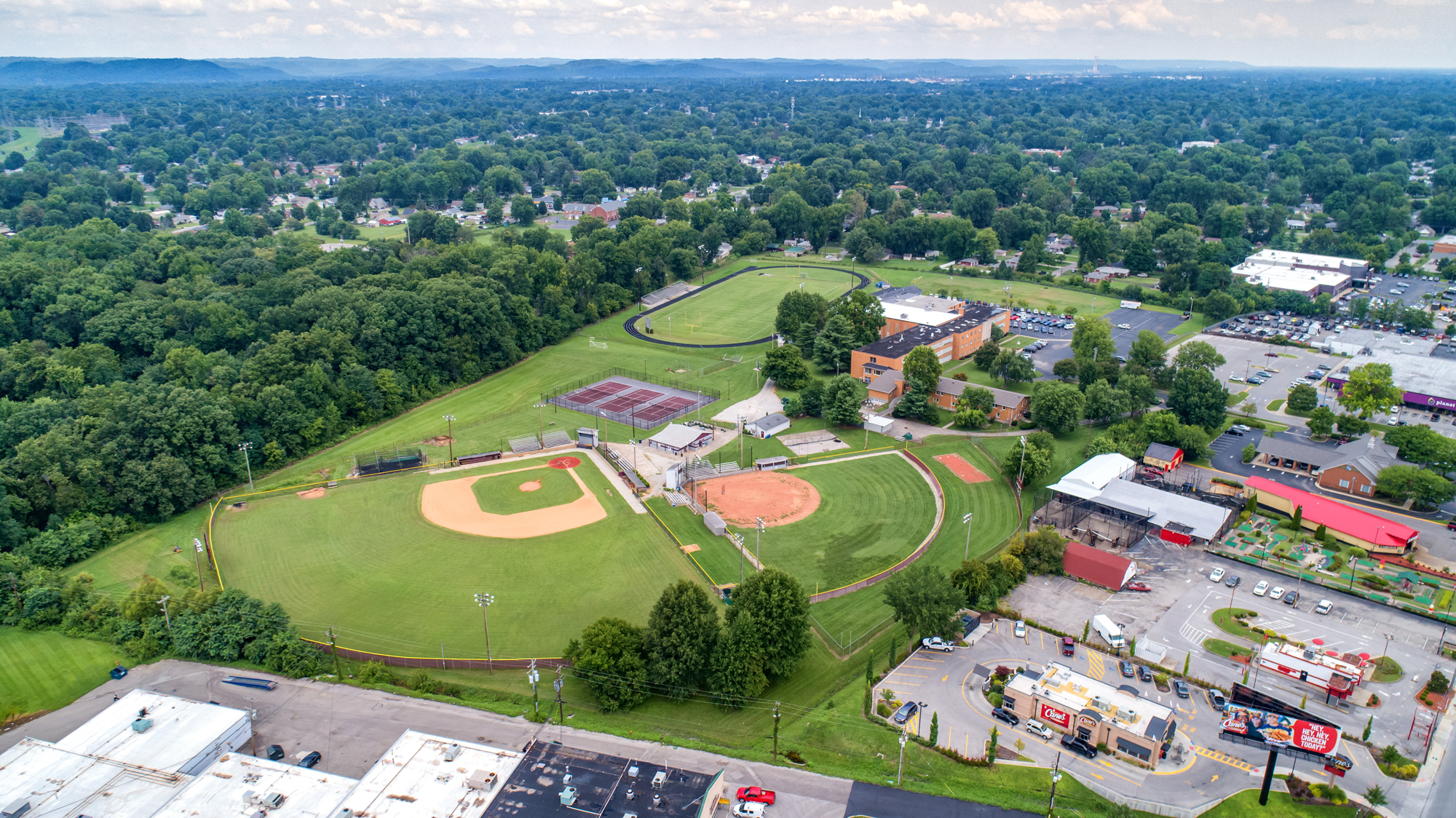
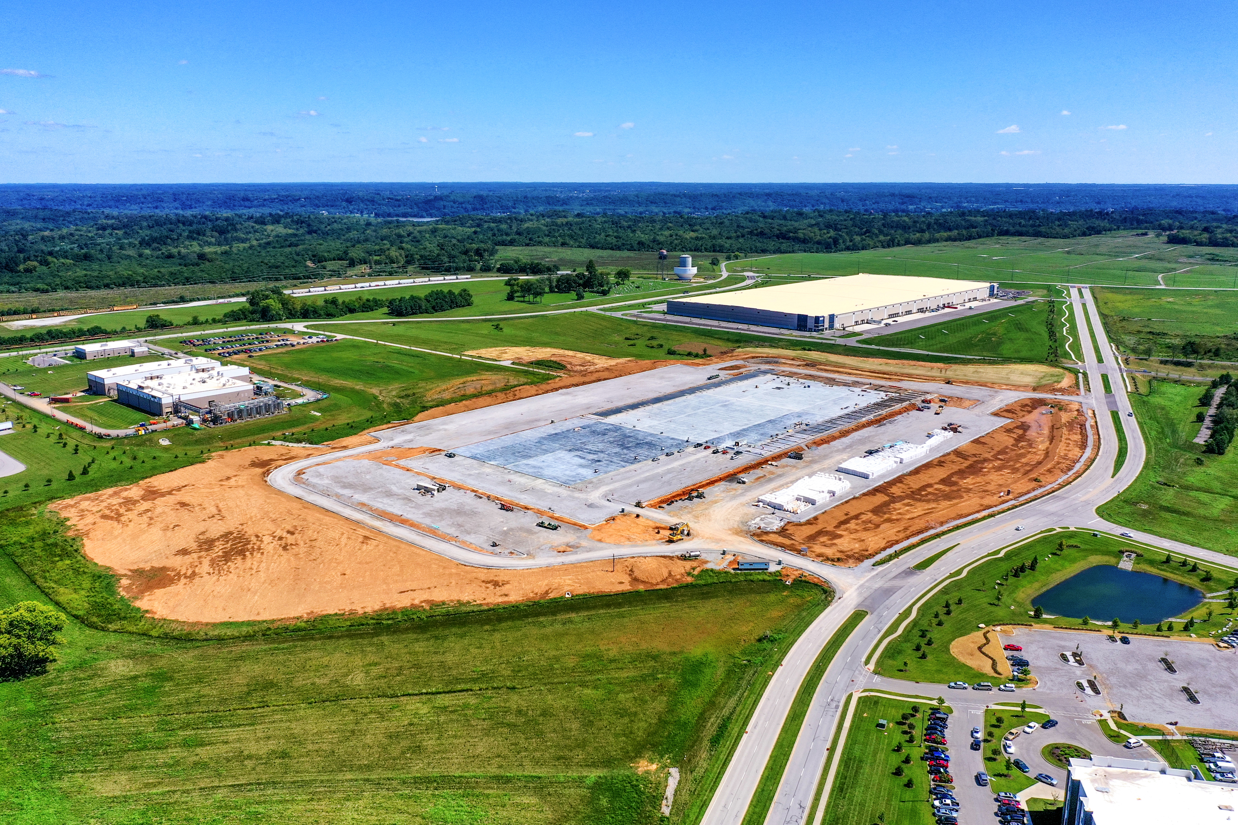
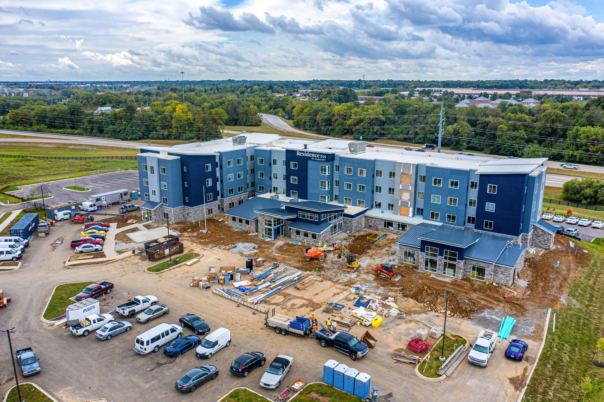
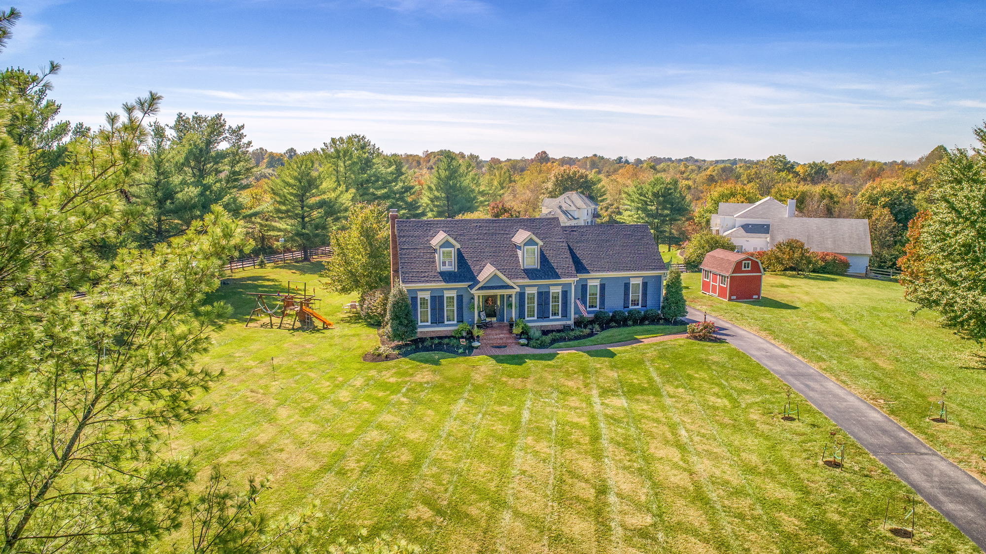
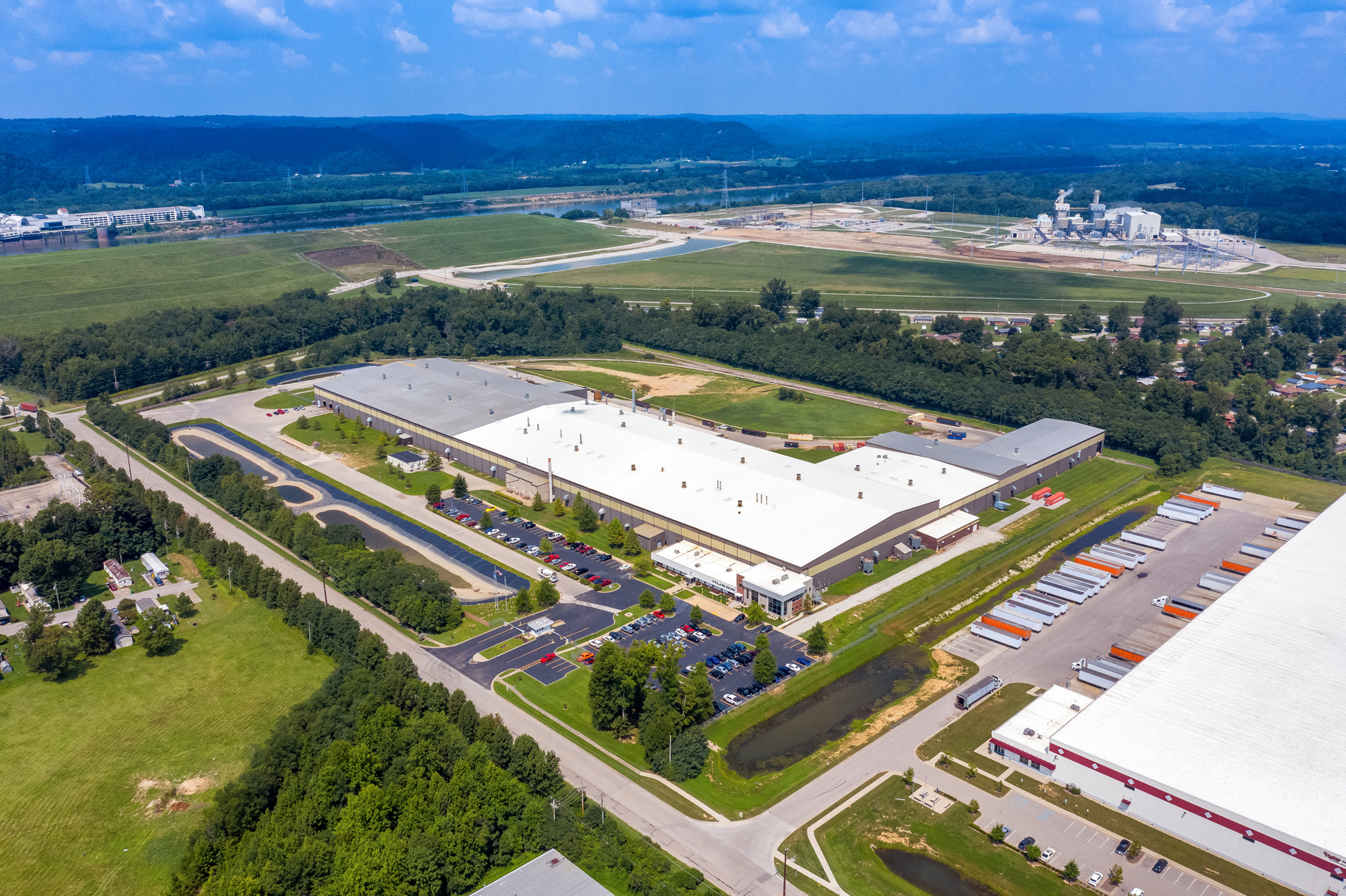
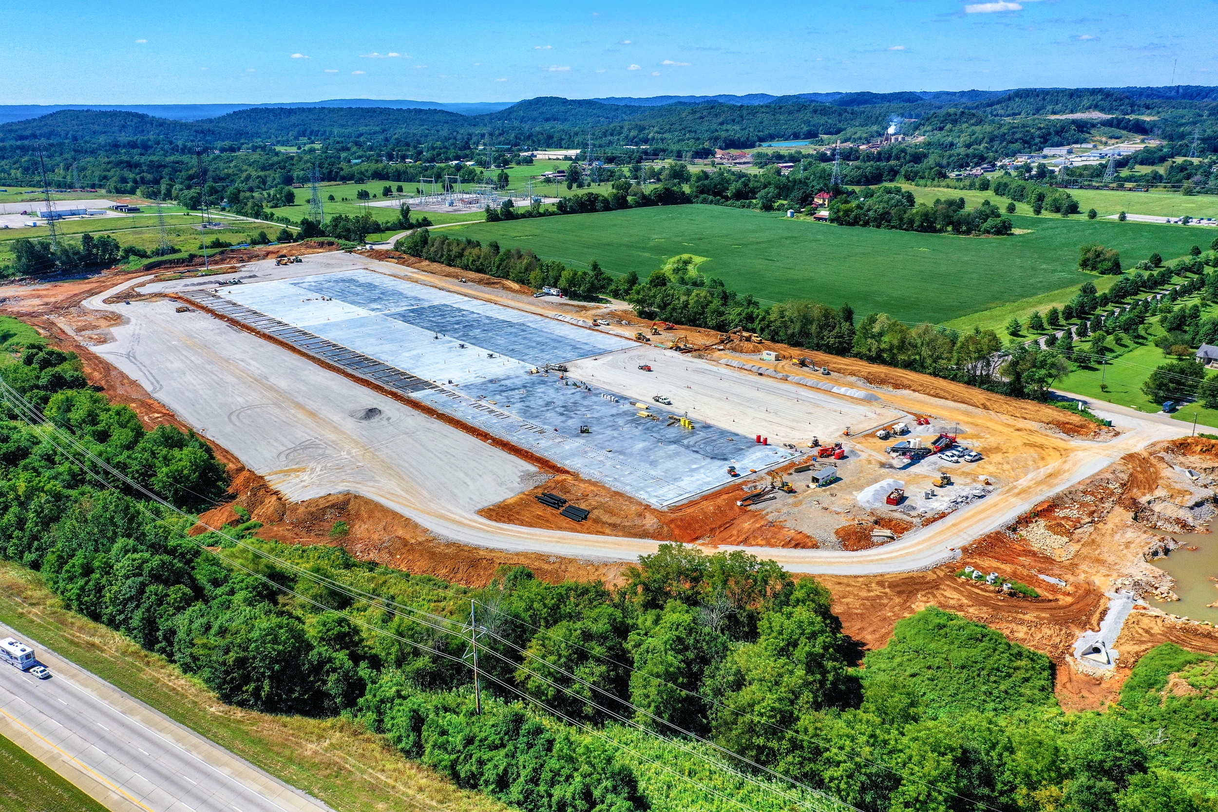
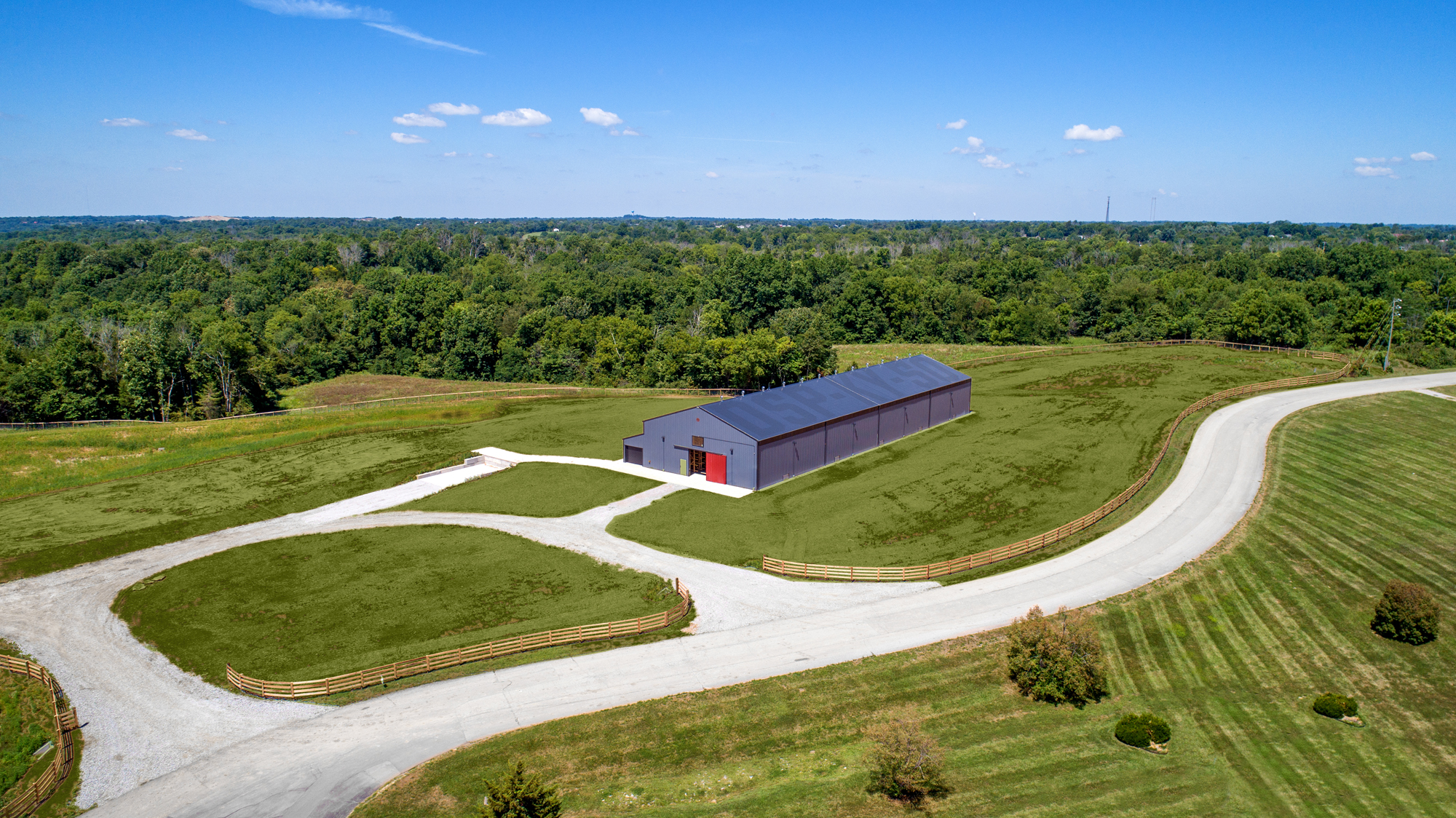
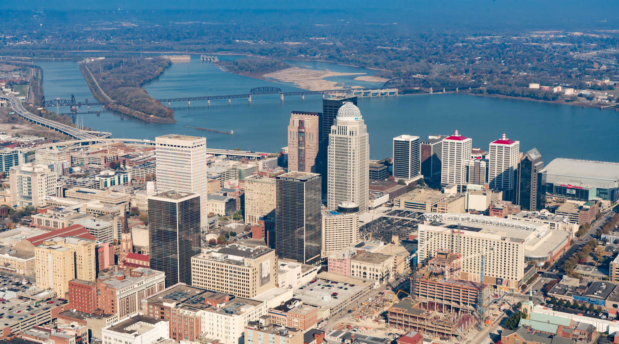
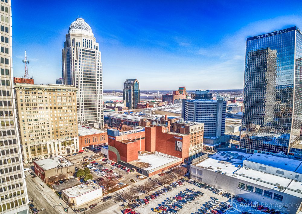
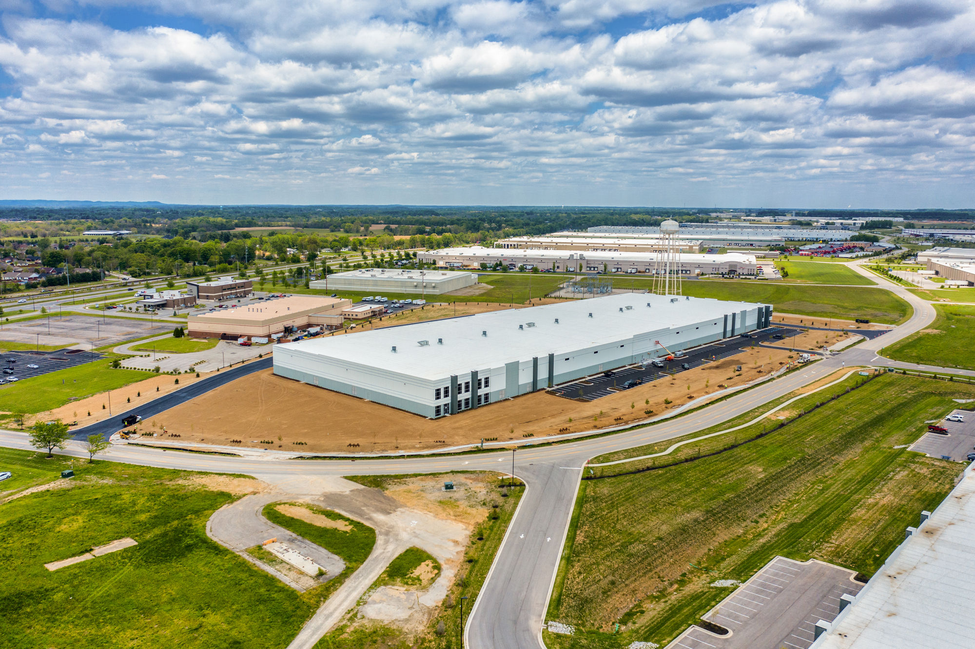
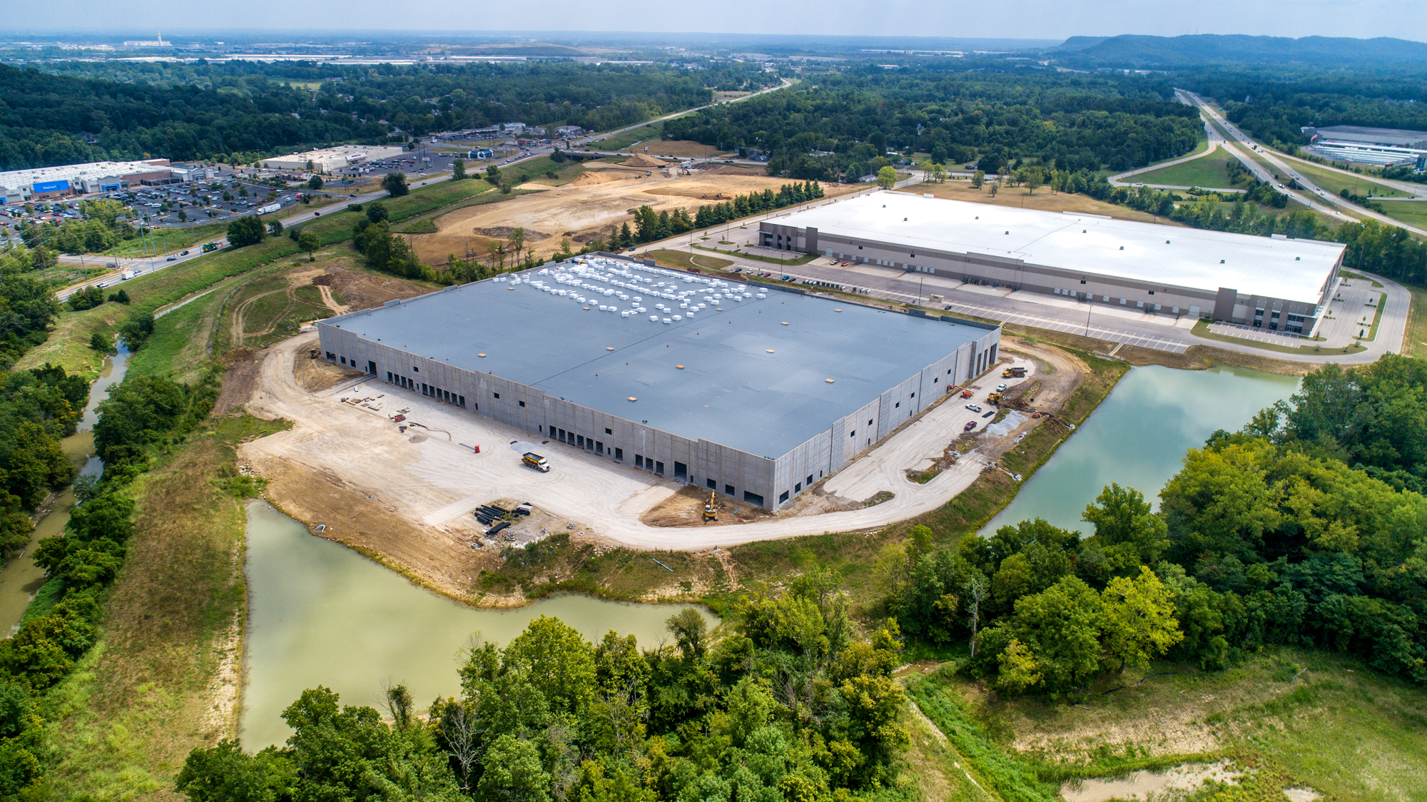
HELICOPTER AERIAL PHOTOGRAPHY
There are certain photos that you are only going to capture from an aircraft. The helicopter is an extremely flexible aircraft platform to shoot from. We use specialized equipment and experienced aerial photographers. We’ve helped provide thousands of images for commercial and personal use.
At Aerial Photography Louisville we not only use drones but we have access to helicopters. Some shoots require higher altitudes, faster speeds, different angles, and better equipment than drones can provide. Some locations can not legally be accessed using a drone.
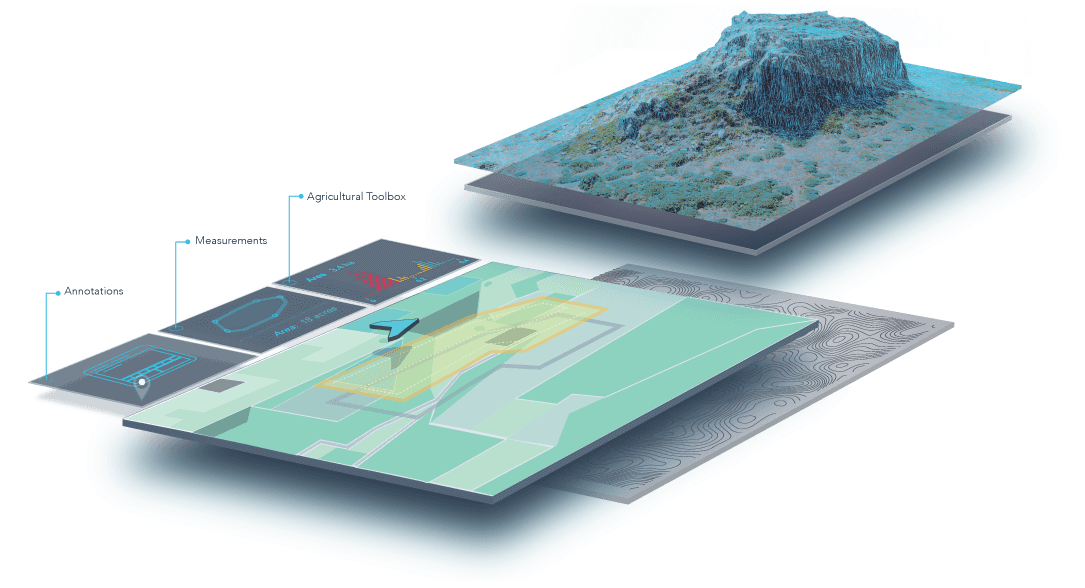
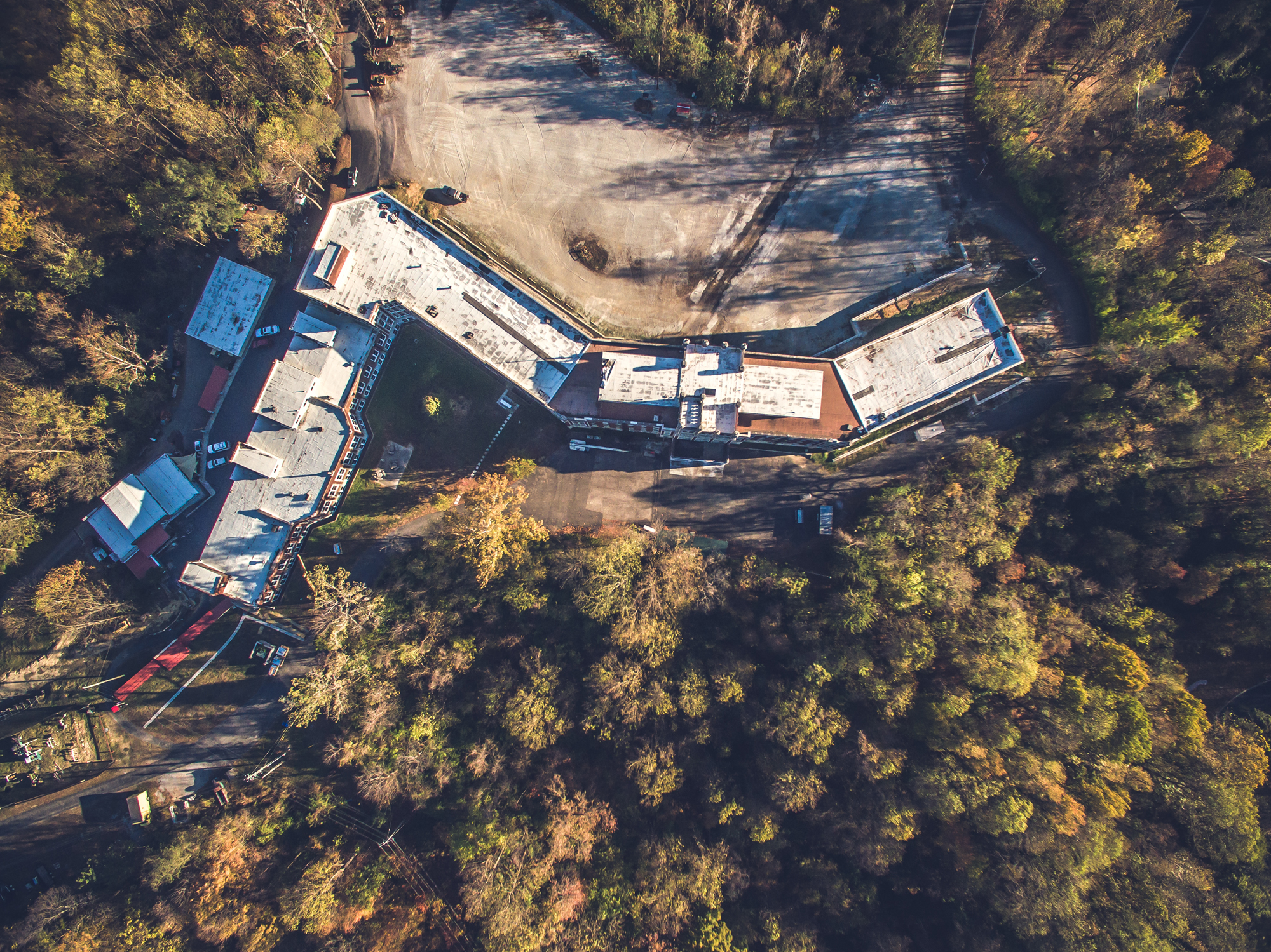
ACCURATE AERIAL KENTUCKY MAPS
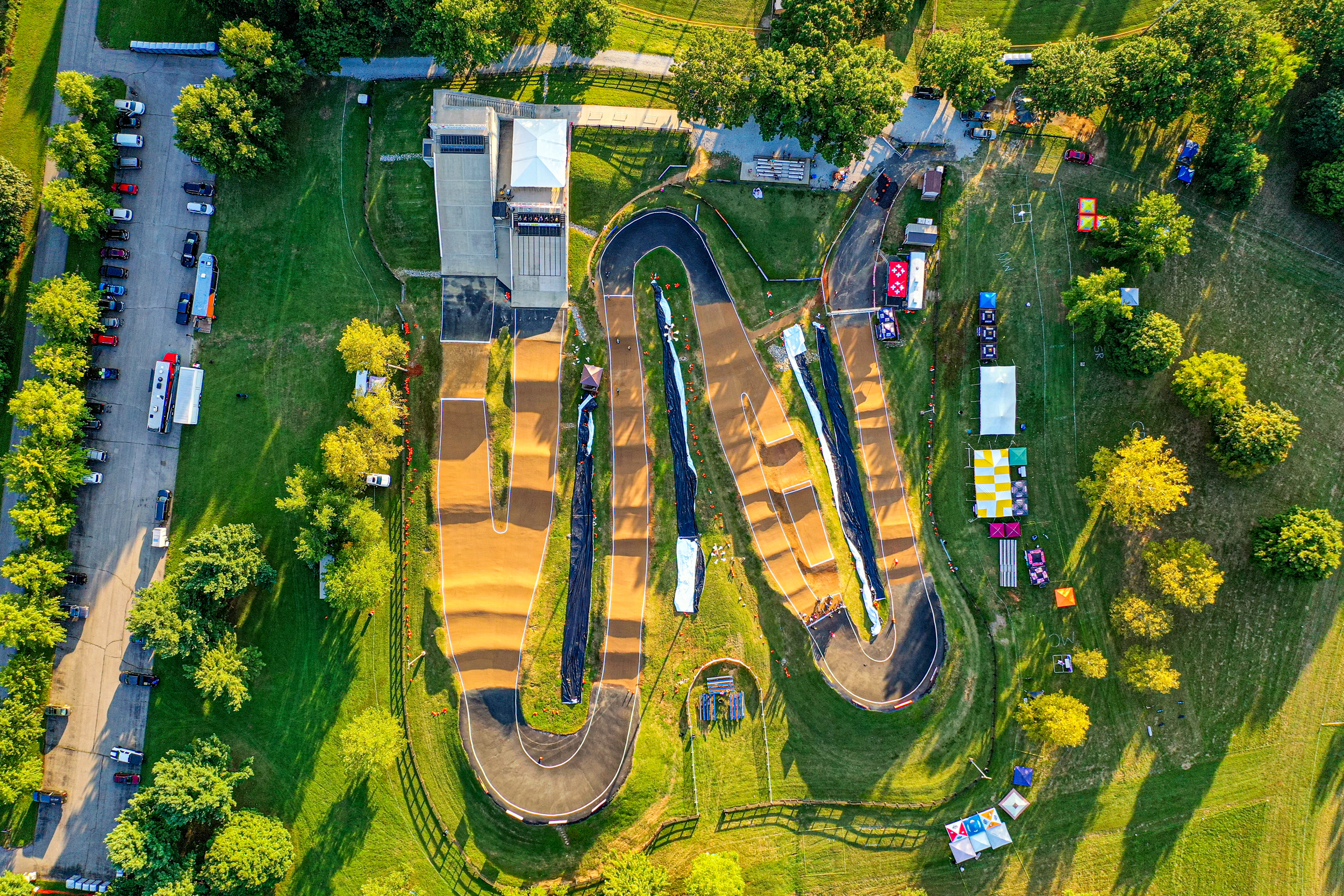
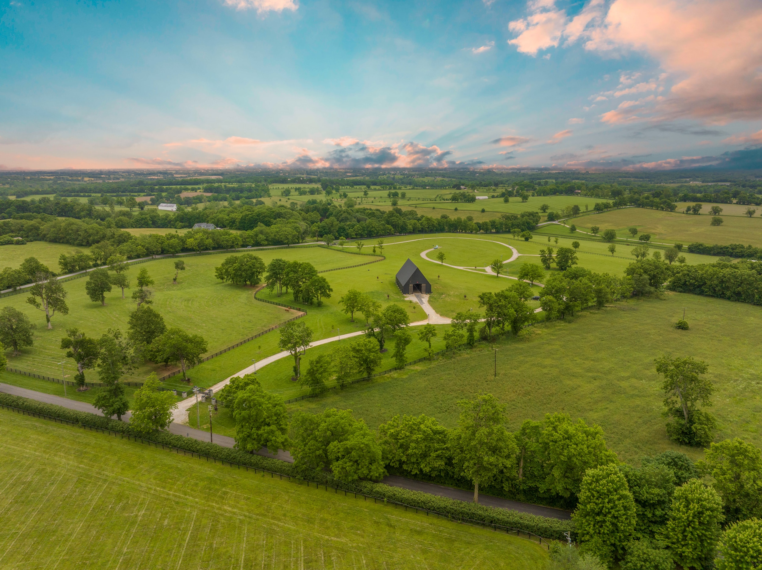
AERIAL 360 DEGREES & PANORMAIC PHOTOGRAPHY
Introducing Louisville Aerial Panoramic Photography in 180 or Full 360 degrees. If you’re looking for a high-tech way to show off your project, this is it. This unique service demonstrates a panoramic view from altitude. This service is great for developers, parks and golf courses. This is Aerial Photography like no other.
We use manned tethered airship, or a drone.
ARE YOU READY TO GET STARTED?
PLEASE FILL OUT THE FORM BELOW
ONE OF OUR TEAM MEMBERS WILL GET BACK TO YOU QUICKLY
"*" indicates required fields


